Woodenbridge,
County Wicklow
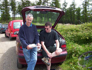
Brian
and Sean at Croghan Kinsella
Directions:
orienteering events will be sign posted from Woodenbridge. Approach
from Glenealy or Arklow via N11
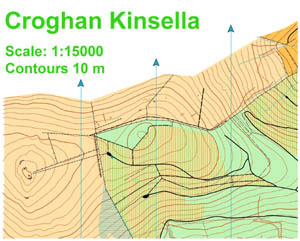
An
extract from Setanta's map of Croghan Kinsella
This
map covers the forest and open mountain surrounding the summit of Croghan
Kinsella, one of the most southerly peaks in the Wicklow mountains.
It was first used for orienteering in 1987 and was used extensively up
to the mid nineties. Extensive felling around this time made the area
unusable for foot orienteering. It will take many years for the forest
to fully recover but in the meantime will be used for club training and
local events. It got a new lease of life in 2004 when it was remapped
and used for a mountain bike orienteering Leinster league event.